Atlas F 577-9
Squadron: 577th SMS
Date Activated: June 1st 1961
Date Deactivated: March 25th 1965
Air Force Base: Altus
State: Oklahoma
Nearest Town: Hollis
Coordinates:
Latitude: 34°41'4.80"N
Longitude: 99°50'1.70"W
Decimal:
Latitude: 34.684667
Longitude: -99.833806
GPS:
Latitude: 34 41.08
Longitude: -99 50.0283333333333
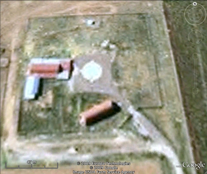
Former Atlas F Launcher with the 577th Strategic Missile Squadron.
Read about the Atlas at Altus AFB
List of all Atlas F site Coordinates